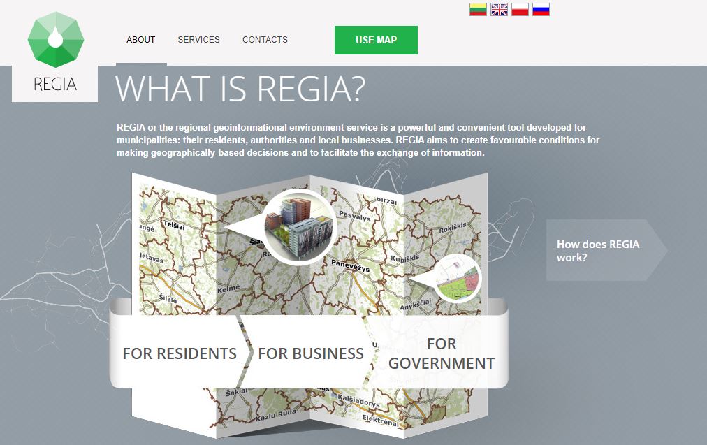
The regional geoinformational environment REGIA map that was created and developed by the Center of Registers of Lithuania has been supplemented with the information on the main gas transmission system controled by the Gas Transmission System Operator Amber Grid. This information might be relevant for the investors and residents.
From now on REGIA
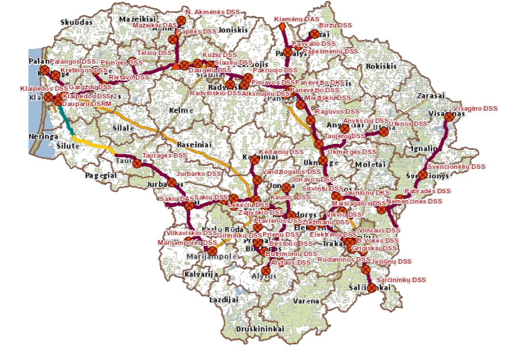
map users can observe more than 2 thousand kilometers long gas pipeline network, gas distribution, metering and compressor stations, gas pressure limiting units located throughout the country on each territory of the municipality.
‘We provide a quick and transparent access to the information about Amber Grid gas transmission system. This is extremely important for our potential customers who appreciate possibilities to join the gas transmission network, as well as for investors who plan new activities or business growth, and for private owners who consider to buy plots of land or to build real estate objects. By providing a simple possibility to see underground gas pipelines directly through the Internet we aim to meet needs and expectations of interested parties in a timely manner’, said Amber Grid Technical Director Andrius Dagys.
Amber Grid is already the third engineering network company publishing its data on the REGIA map and enriching it in such a way with the information relevant to users. REGIA map users can also see gas and electricity distribution networks operated by Energijos Skirstymo Operatorius (ESO) and electricity transmission grid operated by Litgrid.
REGIA is a convenient tool designed specifically for municipalities – their citizens, employees and business operating in them. The aim of REGIA is to create comfortable conditions for decision-making based on geographical location and to improve the exchange of information.

